Chester Neighbors Record Sources
The public route for a Chester block begins with an address and a parcel. Delaware County documents address search, parcel search, map search, the Mapping office, and the Recorder's Cloud Search. The research did not verify a public adjacent-parcel, radius, or buffer button, so an honest search does not invent one. Use Map Search for orientation and request a specific parcel map or data product when the online view is not enough.
| Source | What it shows about a block | Access |
|---|---|---|
| Assessment map and parcel data | Focal parcel and surrounding lot geometry | Map Search, Board of Assessments, or GIS request. |
| Recorder documents | Recorded parties tied to each parcel | Cloud Search with the parcel ID, or the Media counter. |
| Historic street directory | Date-specific listed names by street and number where the edition includes that section | DCHS or digitized Chester editions. |
| Pennsylvania Street List | Address-indexed registered-voter data | Formal Department of State request with use restrictions. |
| City planning or permit file | Address-specific project or applicant history | City counter or a precise Right-to-Know request. |
| Public community meeting | Voluntary event and contact route | City calendar, not a member roster. |
Each record has a narrower answer than a neighbor roster. A boundary line does not name a household, and a recorded party can be an owner, lender, trustee, or prior owner.
Map a Chester Neighbors Block
Use Delaware County Real Estate and Tax Records to resolve one known Chester address to a parcel ID and municipality. The public system allows address, parcel, advanced, and map paths, but the county removed name search. Once the focal parcel is known, Map Search can provide orientation. For surrounding parcel geometry that is not clear online, the documented fallback is a direct map or data request.
- Search the focal address and copy the exact parcel ID and municipality.
- Open Map Search to orient the parcel in its block context.
- Ask the Board of Assessments or Data & Mapping for a specific official parcel map or data question if nearby geometry must be confirmed.
- Use each verified adjacent parcel ID in Recorder Cloud Search when a recorded land document is relevant.
- Use the Chester street directory route only when the task expands from the immediate block to the full street chain.
This preserves the Chester neighbors workflow that the county supports: address to parcel, parcel to map or request, then parcel to the recorded-document trail. It does not turn an unverified map interface into a people list.
Chester Block Map Requests
The Data & Mapping Innovation Hub says that parcel information is maintained and disseminated by the Board of Assessments. That division of responsibility matters when a Chester block map is incomplete or a precise property-data question remains. Ask for the focal parcel, the address, and the type of map or data needed. A broad request for everyone associated with a block is neither the documented map service nor a focused records request.
Published custom-map prices are $5 for 8.5 by 11 inches, $10 for 11 by 17, $25 for 25 by 25, $30 for 24 by 36, $40 for 36 by 36, and $50 for 48 by 36. Confirm the current price and requested product before ordering.
Chester Block Recorded Parties
Recorder Cloud Search accepts a parcel ID, grantor or grantee term, subdivision, document type, document number, and recorded-date range. For a block study, parcel ID is the more reliable join because an older instrument may describe a lot or subdivision rather than the current street number. Start with the index scope, narrow by date, and read the instrument before treating an OCR hit as meaningful.
| Record result | What it can establish | What it cannot establish |
|---|---|---|
| Assessment parcel card | Parcel ID, situs, municipality, assessment context | All people at the address or a public owner-name search. |
| Cloud Search deed | Grantor, grantee, document, date, parcel or legal description | Present occupancy or a family relationship. |
| Historic street entry | A listed name at an address in that edition | Continuous occupancy outside that volume. |
| City file | Public project, permit, or meeting evidence | A universal neighbor directory. |
For a property-fraud safety step, the Recorder also offers free Property Alert after an account is created and a parcel is selected. It sends email notice of future documents linked to that property ID. It is not a way to monitor neighbors.
Chester Community Contact Route
Chester's public community evidence is meeting-based, not a completed citywide member directory. The City calendar has posted a Sun Hill Neighborhood Meeting. The City's Vision 2035 plan calls for a civic and neighborhood leader contact list, but the research did not find a completed public association roster. That absence is important: use the public meeting route or voluntary organization contacts, rather than trying to assemble a household list.
| Community route | Verified status | Useful purpose |
|---|---|---|
| Sun Hill Neighborhood Meeting | City event listing | Public meeting and civic contact route, not a membership roll. |
| Vision 2035 contact-list goal | Plan calls for a future civic and neighborhood leader list | Confirms that no complete public directory was located. |
| Parks and community calendar | Public event pages | Find a public gathering, not a household record. |
| DCHS, Crozer, and County Archives | Historical institutions | Research a past block or organization, not current members. |
For a past block, city directories and maps can add dated context. Their title pages and edition scopes must be checked, because a Chester volume may also include South Chester, Upland, Eddystone, or Media.
Chester Election Street List Limits
Pennsylvania's formal Street List is the documented election product organized around street addresses. It contains name, residence and mailing address, party, and active or inactive status. The Department of State's request form says electronic list products cost $20 per county, but the form also requires a signed use affirmation. The information cannot be used for commercial or other purposes outside the stated election, political, or law-enforcement uses, and it cannot be published on the internet.
The public Find Voter Registration Status service is different. It is a personal-status check, not a street browser. Neither route supports turning Chester neighbors into a casually published list.
Chester Earlier Block Listings
For a historical Chester block, use a directory volume that actually includes a street section, then note the year and the title's stated geographic scope. The 1889-90 Chester directory advertises a street directory, while the early 1859-60 title describes inhabitants' dwelling houses and a street list. Those are useful starting points, but no rule says every Chester edition has the same reverse-address material. A historic listing is evidence for that volume's date, not a claim of continuous residence.
The Delaware County Historical Society holds Chester City directories from 1879-1931, plus 1941, 1956, and 1959, and telephone books for 1957, 1958, 1965, and 1970 to the present. It also holds maps, atlases, newspapers, deed and estate papers, cemetery and funeral material, and Chester photographs. Pair a street entry with the matching atlas, Sanborn plate, legal description, or deed where an old number or place name does not match today's parcel.
Chester began as Upland and was renamed Chester in 1682. Later directory editions can include South Chester, Upland, Eddystone, or Media. That local scope shift is a reason to read the title page before deciding that a person was or was not on a given Chester block.
Chester Official Block Sources
Official sources identify their custodian, date, and record limit. Commercial neighbor-lookup services as a category can combine stale fragments, mix people with similar names, charge for access, and omit the source context. They are not the original custodians. When a Chester address fact matters, return to the parcel, Recorder, City office, or other named agency and keep the date with the record.
| Official Chester record | Commercial neighbor category |
|---|---|
| States its keeper, type, date, and access limits. | May combine sources without clear timing or provenance. |
| Can be checked with the responsible office or official copy path. | May retain old or conflated data after a source changes. |
| Supports a focused parcel, document, or meeting question. | Does not replace a custodian's record for accuracy. |
A current parcel concern goes to Assessments or the Recorder. A court-entry issue goes to the court or OJS clerk. That is the better path for a correction or a question about a limited record.
Chester Block Privacy Limits
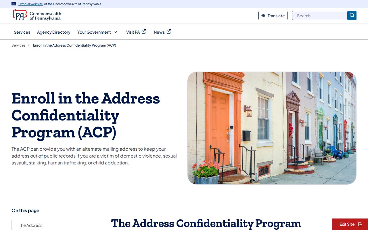
Some addresses are deliberately protected. Pennsylvania's Address Confidentiality Program supplies eligible participants with an alternate mailing address for safety and can be used in records including court, voter, vehicle, school, marriage, and utility-related records. The program is part of a safety plan, not a public lookup route. DMV information is also restricted by the federal Driver's Privacy Protection Act.
The assigned ACP screenshot shows the official safety route. A missing address can be a lawful confidentiality result, not an invitation to look elsewhere.
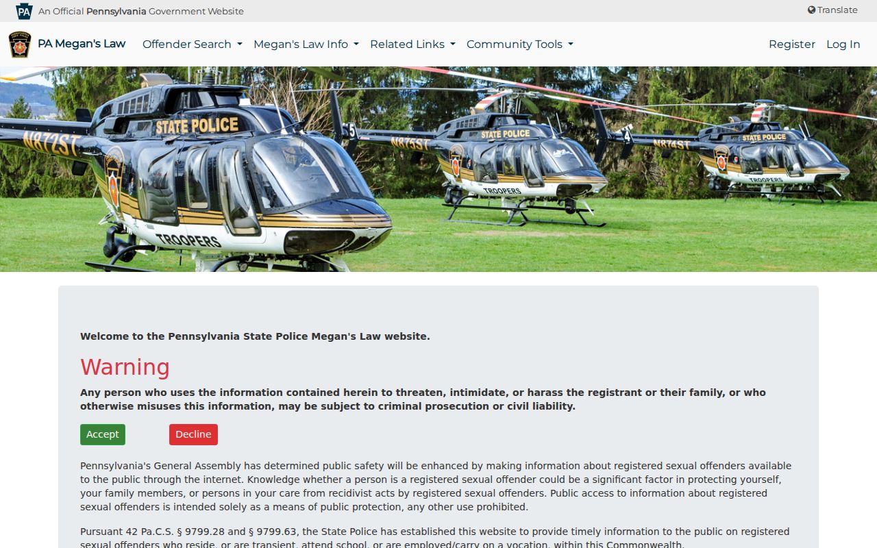
Pennsylvania Megan's Law provides a separate public-safety service after users accept its terms. It warns against harassment and should be used only for its stated public-protection purpose, never as a complete description of a Chester block.