
Browse Chester Streets by Address
A careful Chester street search starts with an address, not a surname. Delaware County removed owner-name search from its assessment system, so the useful first result is the parcel record tied to the situs address. Preserve the parcel ID and municipality exactly as displayed. A Chester mailing address and ZIP are not, by themselves, a municipal or parcel determination, especially near a boundary.
From there, the record trail moves from a current property key to recorded land documents, then to dated address evidence. It can reveal a taxable parcel, recorded deed parties, a historic directory listing, or a public project file. It cannot turn those distinct sources into a complete list of everyone currently in a home.
- Enter the complete address in Delaware County Real Estate and Tax Records. Record the parcel ID, situs address, and municipality.
- Use Map Search for parcel context. When the public route does not answer the map question, request a defined parcel map or data product from County Mapping.
- Enter the parcel ID, including its dashes, in Recorder Cloud Search. Start with the indexed scope and a date limit, then verify any broader OCR lead against the instrument.
- Read the latest deed for the grantor, grantee, document number, recording date, and legal description. Follow those fields backward for the prior conveyance.
- For a formal election purpose, use Pennsylvania's request process for a Street List rather than the personal voter-status form. Its statutory restrictions remain part of the request.
- For earlier years, compare the edition-specific street section in a historical directory with the deed date. That sequence is a historical address association, not proof of continuous occupancy.
Note: Keep the parcel and document trail separate from a name that appears only in a dated directory listing.
Chester Street Property Starts Here
The county's property application offers Search by Address, Search by Parcel, Advanced Search, and Map Search after its disclaimer screen. It is the official address-to-parcel route for a Chester address search. The county describes the database as an Assessment Office property-record system and warns that its public information is not certified. It also says that name searching and property photographs were removed for privacy and security.
That design changes the search order. An address produces the parcel key; the parcel key can then be carried into the deed index. Do not promise an assessor name search or assume that a parcel card supplies a current household. A resulting card may support the parcel ID, situs address, municipality, assessment or tax labels, classification, and related map or tax detail. Questions about a formal map, tax certification, or an unclear parcel record belong with the Board of Assessments or Mapping staff.
Chester Street Record Keys Defined
Addresses change form as they move through Chester property records. Keeping each key in the notes prevents a searcher from treating a mailing convention, an old directory entry, and a land description as the same thing. The parcel ID is the strongest bridge between the assessment record and Recorder Cloud Search. A legal description can be more dependable than a visual street match when an older deed identifies a lot, block, plan, or subdivision instead of a modern number.
- Parcel
- The county property unit identified through the Assessment address or parcel search.
- Situs address
- The physical property location used by the assessment address search. It is not necessarily a mailing address or proof of residence.
- Plat
- A recorded plan or map that can show lots, blocks, or a subdivision layout in the land-record trail.
- Criss-cross directory
- A directory section arranged by street and address rather than only by name, when a particular Chester edition includes one.
Chester's core postal ZIP is 19013, but ZIP is a delivery convention. Confirm the parcel municipality in the county system before treating a Chester mailing address as a City of Chester property. The same caution applies to historic sources: Upland was renamed Chester in 1682, and directory titles can include South Chester, Upland, Eddystone, or Media in different editions.
Chester Street Search Field Choices
The assessment interface supplies routes rather than a public owner-name field. Its published controls are enough to make a narrow address search repeatable. Accept the disclaimer, use the specific address or known parcel ID, and retain the county's exact formatting. The advanced-field labels were not available in the research session, so no additional filters should be assumed.
| County field or action | Type | Required | Chester street use |
|---|---|---|---|
| Search by Address | Search mode | Address needed | Resolves a street number to a county parcel record. |
| Search by Parcel | Search mode | Parcel ID needed | Reopens a known parcel with the land-record linkage intact. |
| Advanced Search | Search mode | Varies | Shown in the menu, but individual fields were not captured. |
| Map Search | Map mode | Varies | Provides county-supported parcel context. |
| Agree / Disagree | Disclaimer buttons | Agree to continue | Acknowledges the county accuracy and privacy notice. |
| Owner-name search | Unavailable | Not applicable | Removed by the county and not a street-directory feature. |
County Mapping directs online parcel viewing back to the property system. The research did not verify a separate public GIS viewer with adjacent-parcel, buffer, or radius controls. Use the documented Map Search route, then ask for a specific map or parcel-data question rather than relying on an undocumented feature.
Chester Street Directory Record Channels
Street-address records in Chester sit with different custodians. Each channel adds a different kind of evidence. The assessment system provides the current property key. The Recorder supplies instruments tied to that key. City files may date a project or hearing. Historic directories can connect a listed name to a numbered street in a defined edition. Combining them carefully produces a more accurate Chester street directory result than any one source alone.
| Address-keyed source | Custodian | What it can establish | Documented access route |
|---|---|---|---|
| Real Estate and Tax Records | Delaware County Board of Assessments | Parcel, situs, municipality, and assessment context | Address or parcel search |
| Parcel map or data | Assessments / Data and Mapping | Parcel geography and map products | Map Search or defined map/data request |
| Recorded deeds and plans | Delaware County Recorder of Deeds | Recorded parties, documents, parcel and legal description | Cloud Search, Fusion, or Media counter |
| Planning, permit, or code file | Chester City departments | Address-specific project or application history | Counter inquiry or precise RTKL request |
| Historic address directory | DCHS or digitized local collection | Dated listed name-and-address association | Edition-specific historical research |
| Pennsylvania Street List | Department of State | Address-indexed voter data under statutory limits | Signed county-list request |
Recorder land records date to 1789, while the county says online copies reach 1799 to the present. A document that does not appear online may need a focused Recorder request or a counter visit in Media. The Archives does not control Recorder deeds, so it is not the substitute for a missing land-record image.
Chester Streets Through Recorded Deeds
Cloud Search works best when the street question has already produced a parcel ID. The search term accepts grantor or grantee, subdivision, document type, document number, and parcel ID. Enter a parcel ID as xx-xx-xxxxx-xx, including dashes. Search Index Only examines indexed information. Search Index & Full Text uses document OCR and treats two or more words as a phrase, so it can produce useful leads but needs document-level confirmation.
A deed result should be read as a recorded land event. Retain the party names and roles, document type and number, recorded date, parcel ID, and legal or subdivision description where shown. Those fields can reconstruct title. They do not prove a family connection, a present address, or the full group living in a property. Recorder Cloud Search is the official portal for that parcel-to-document step.
Recorder Cloud Search presents the county's deed and parcel index for a Chester address search.
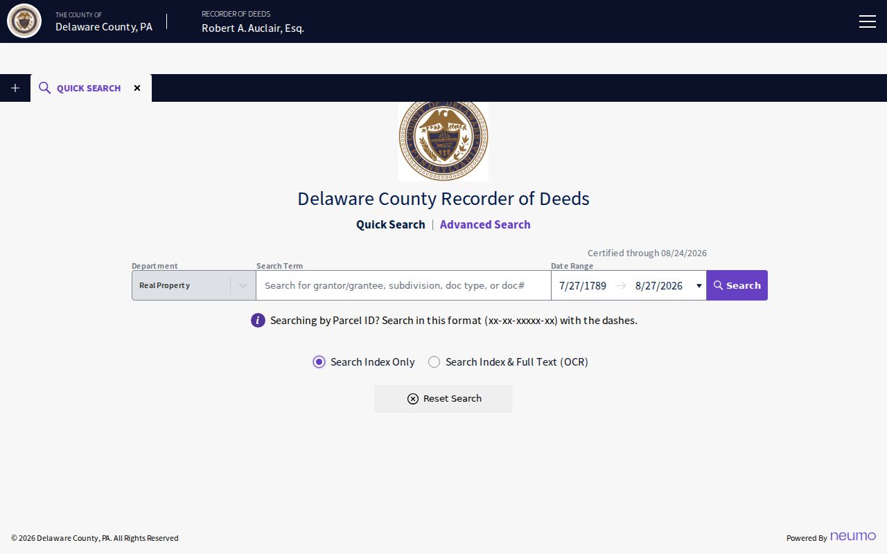
Use the image as a visual cue for the official search channel, then verify the resulting instrument rather than relying on a word match alone.
Chester Street Directory Years Matter
A historic street listing needs its year, edition, and geographic scope attached. The 1889-90 Chester directory expressly advertised a street section, and the 1859-60 title described inhabitants' dwelling houses and a street list. Neither statement proves that every volume has a reverse or criss-cross section. It does show why an address question must be checked against the title page and the edition's own organization.
For Chester, the Delaware County Historical Society holds city directories from 1879-1931 plus 1941, 1956, and 1959. Digitized directory material reaches 1859-60. A directory name is a historical address association, not an automatic present-resident finding. The fuller collection chronology belongs with the Chester city directory collections; use it when a parcel or deed points to an earlier era.
Directory boundaries also move. Some editions fold in South Chester, Upland, Eddystone, or Media. Read the title before calling a missing name a Chester absence. Maps, plans, and the deed's legal description are stronger ways to reconcile an old number or place name with a modern parcel.
Note: A street entry proves only what that edition listed for that address at that time.
Chester Street Files at City Hall
Planning and Zoning, License and Inspections, and Building Code are the municipal backstops for a defined Chester address question. The City directory lists Planning and Zoning at 610-447-7821, License and Inspections at 610-447-7894, and Building Code at 610-447-7726. No public permit or code search interface was located in the reviewed sources.
Ask for an address, permit number, project name, date range, and record type. That can route a request for a permit, notice, inspection record, planning agenda, final plan, or hearing file to the correct custodian. If the material is not available at the counter, send a narrow request through the City Clerk / Open Records Officer under the Pennsylvania Right-to-Know Law. A broad request for all people connected with an address is neither a clear record description nor a reliable Chester street directory method.
Chester Street Lists Have Limits
Pennsylvania's Find Voter Registration Status tool is a personal-status check. It is not a street-browse tool and should not be used as a Chester by-street reference. The Department of State does offer a formal Street List request. That product is documented to include name, residential address, mailing address, party, and active or inactive status. A Walking List is the comparable street list without mailing address.
The request form sets the $20 per-county price for the electronic list products and requires a signed affirmation. The supplied data may not be used for commercial or other purposes except elections, political activity, and law enforcement. Internet publication is prohibited under the cited state rules. Use the Department of State voter-list request form for the exact product and conditions, and do not copy its contents into a casual street roster.
Chester Recorder Numbers Worth Noting
Delaware County's records history explains why the parcel-to-deed chain has unusual depth. Real-property records date to 1789, and the county says copies are online from 1799 to the present. Cloud Search became a second public search platform in 2024 alongside Fusion. The County's 2023 financial report says its record-improvement project reviewed five million scanned property documents, including unrecorded and microfilm material, to improve completeness and images.
Online ordinary copies are listed at $0.50 per page, while office copies are listed at $1.00 per page. Electronically certified copies are available only through Cloud Search. The Recorder also provides free Property Alert notifications tied to a Property ID. It is a property-fraud monitoring tool for a person's own property interest, not a way to follow records associated with other people.
Recorder Online Records is the county's separate Fusion search channel for Chester address-document research.
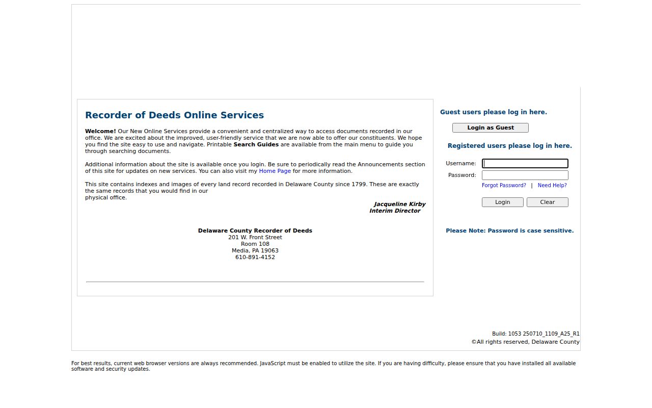
The Fusion channel complements Cloud Search, so a focused document search has an official alternative when one interface does not surface the needed record.
The Recorder's Chester City transfer-tax information also identifies a 1.5% local rate effective September 1, 2023, unlike the ordinary 1% local rate listed for most county municipalities.
Recorder transfer-tax information supplies the Chester property-record context for the accompanying capture.
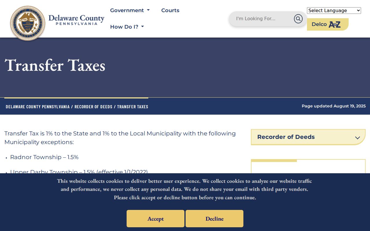
That local tax distinction helps identify a Chester City transaction context, but it does not identify who lives at an address.
Chester Street Directory Limits
A recorded owner, a deed party, a directory-listed name, and a current resident are different facts. Assessment and Recorder records can connect an address to a parcel and a land instrument. A historic address directory can connect a name and number in its edition. Neither source supplies a complete household roster. Utility accounts, delivery data, protected addresses, and motor-vehicle address data are not parts of a general public street search.
County records, City files, and historic collections can be used for personal, lawful research such as family history, estate questions, property context, or checking a document. Respect access restrictions and each custodian's process. When a record is unavailable, a narrow request to the responsible office is more appropriate than trying to assemble information from unrelated sources.
Lawful personal use. Chester street and address records are not tools for surveillance. Do not use them to stalk, harass, intimidate, or harm anyone.